August 16, 2015 - Round Trip to Johnson City, TN
|
|
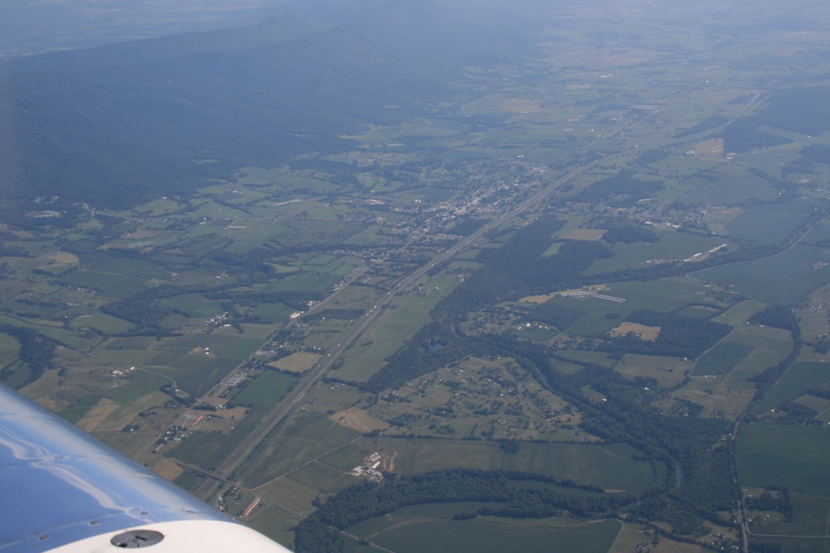
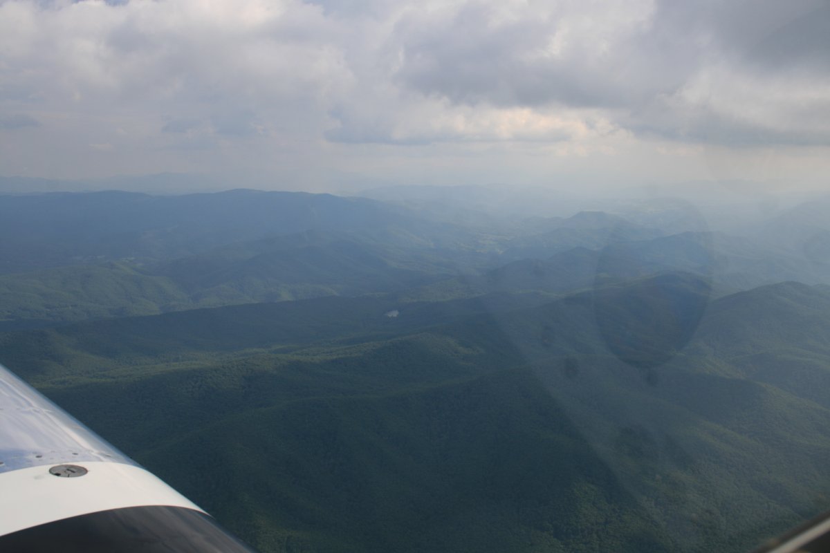
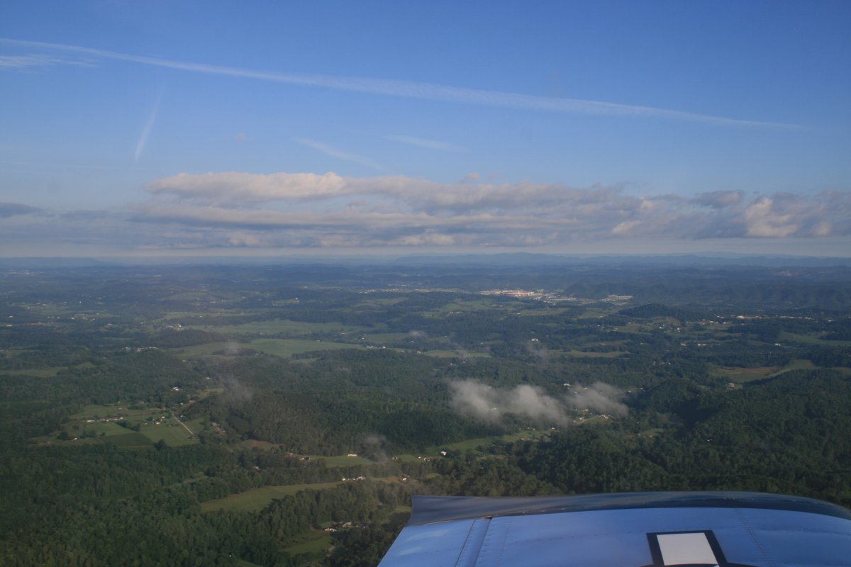
I flew down to Johnson City, Tennessee to spend a week with my parents and sister, leaving Sunday afternoon. Weather was fine although a little hazy as you can see here.
I'm looking down at I-81 which leads straight to Johnson City. It's a seven hour drive plus an hour to stop. Two thirds of that is on I-81. Flight time: two and a half hours plus or minus depending on the wind. Plus it's fun.
|
| |
 |
|
|
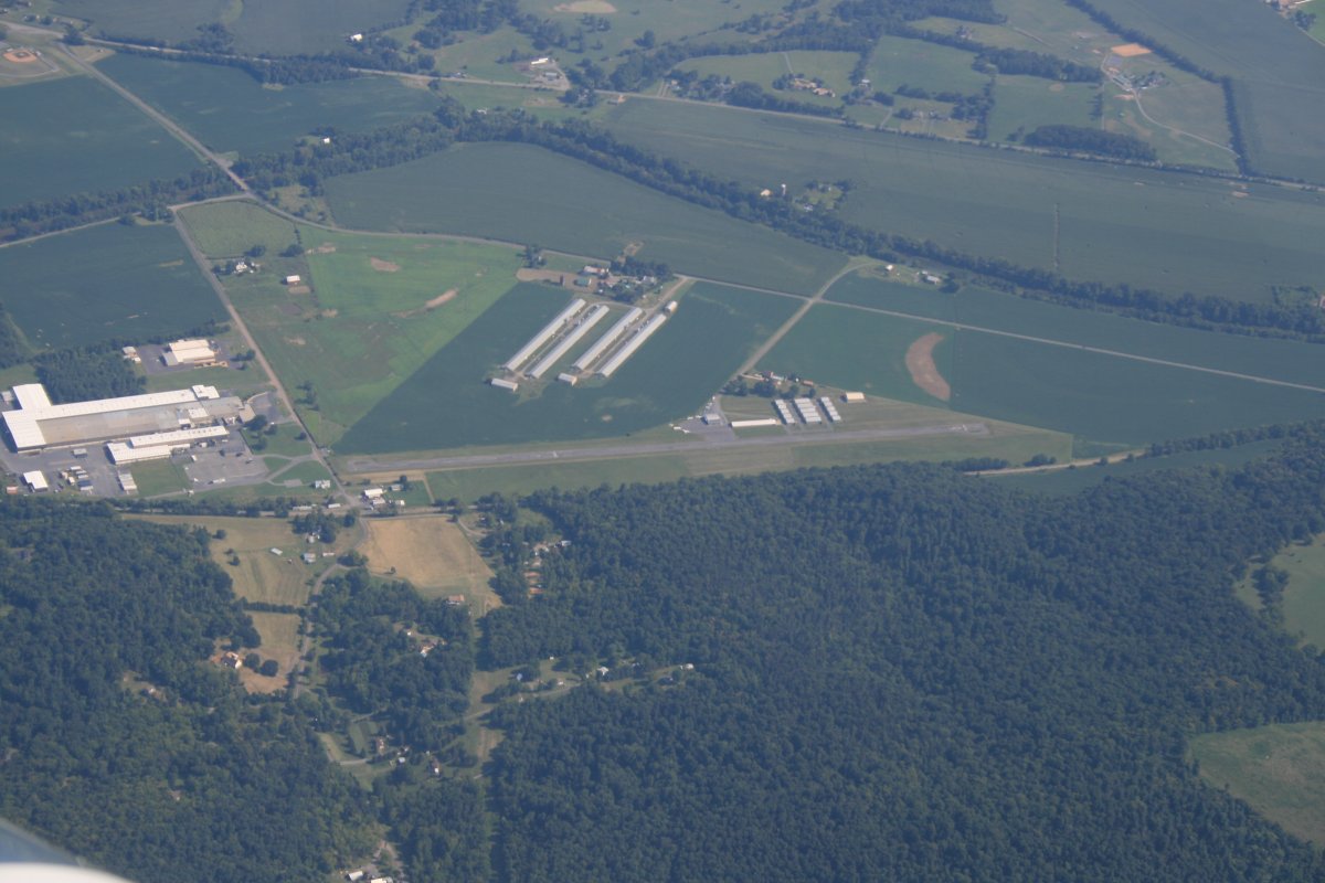
Passing by New Market Airport where I soloed in a glider at a Vintage Sailplane Regatta many years ago.
|
| |
 |
|
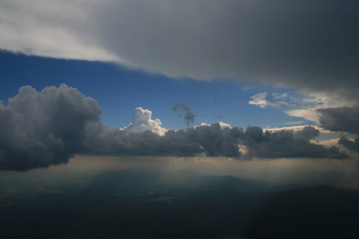
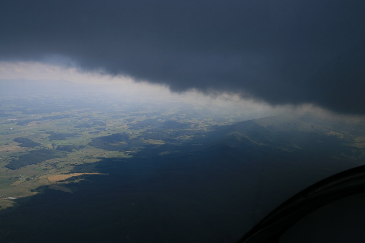
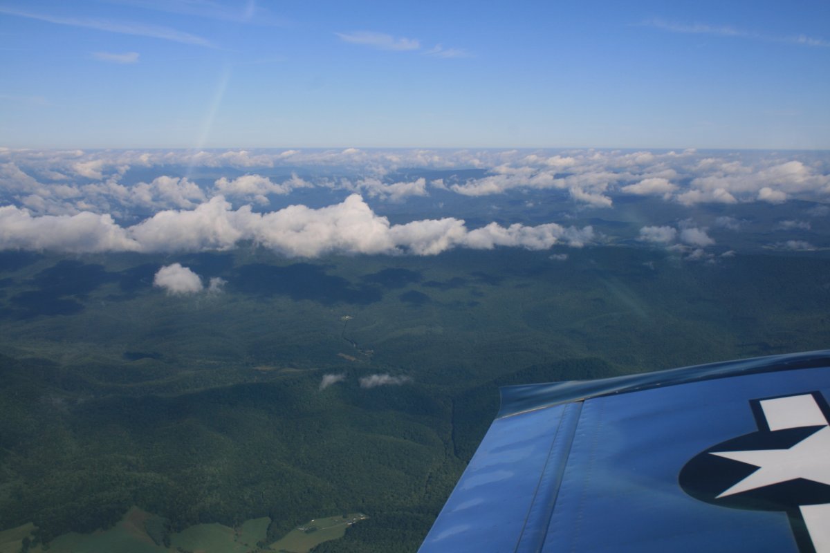
| A little weather south of the Shenandoah Valley helped make an otherwise boring flight interesting. Blue skies above, rain below. |
| |
 |
|
|
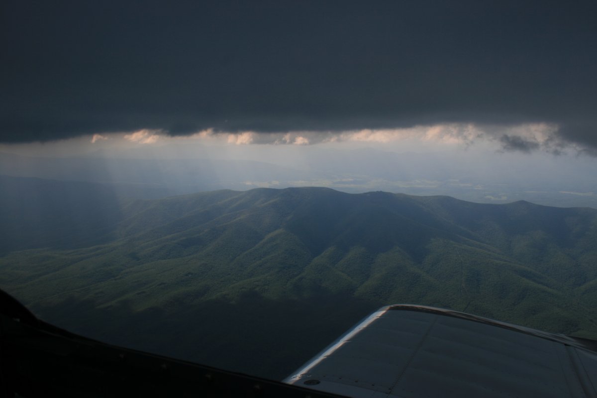
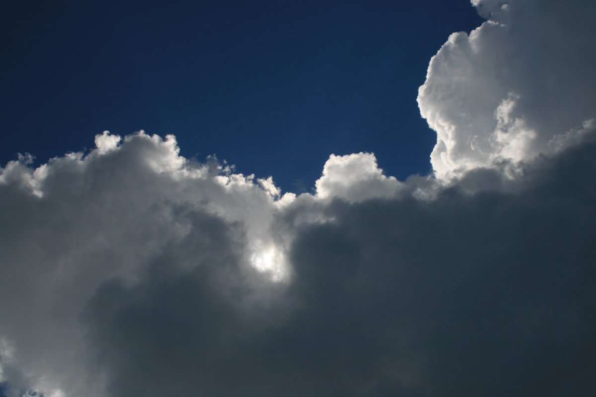
Rain, sunlight, dark clouds, tree-covered mountains.
|
| |
 |
|
| Mostly dark clouds on this one. |
| |
 |
|
| |
| |
 |
|
| |
| |
 |
|
|
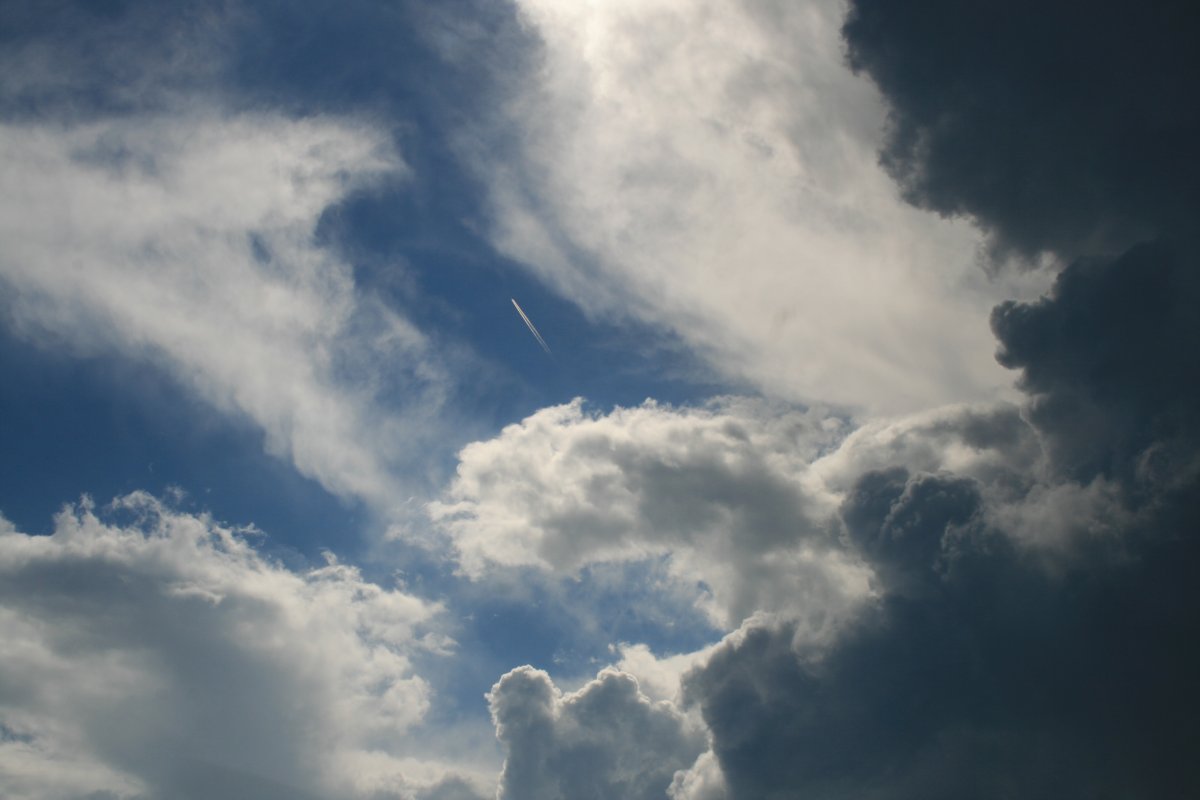
A jet airliner cruises high above.
|
| |
 |
|
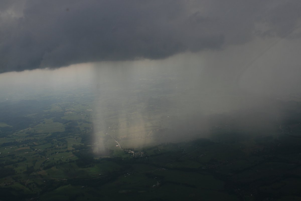
| Rain off the right wing. |
| |
 |
|
|
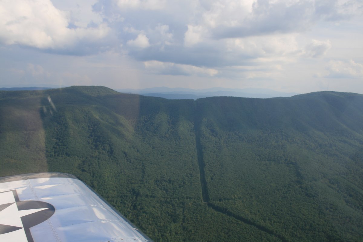
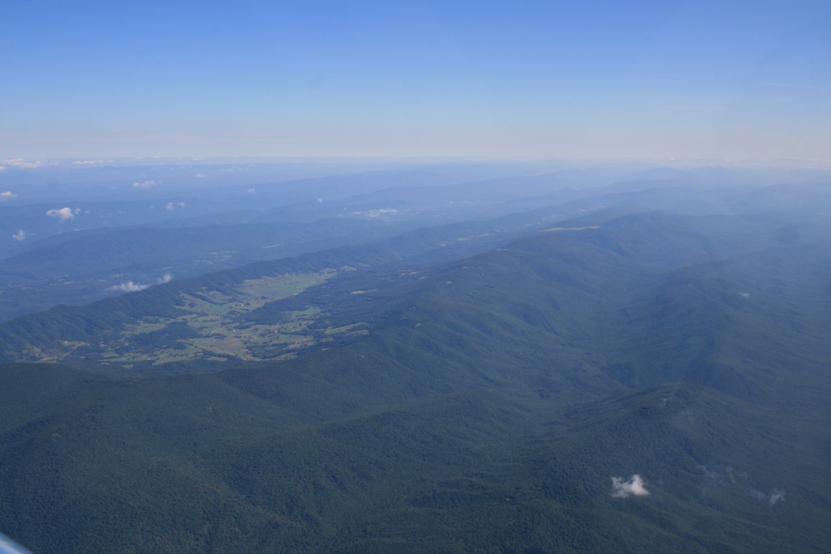
The tree-covered Appalachian mountains are off the left wing.
|
| |
 |
|
| The mountains to the east are getting taller. Or maybe it is because I'm descending. |
| |
 |
|
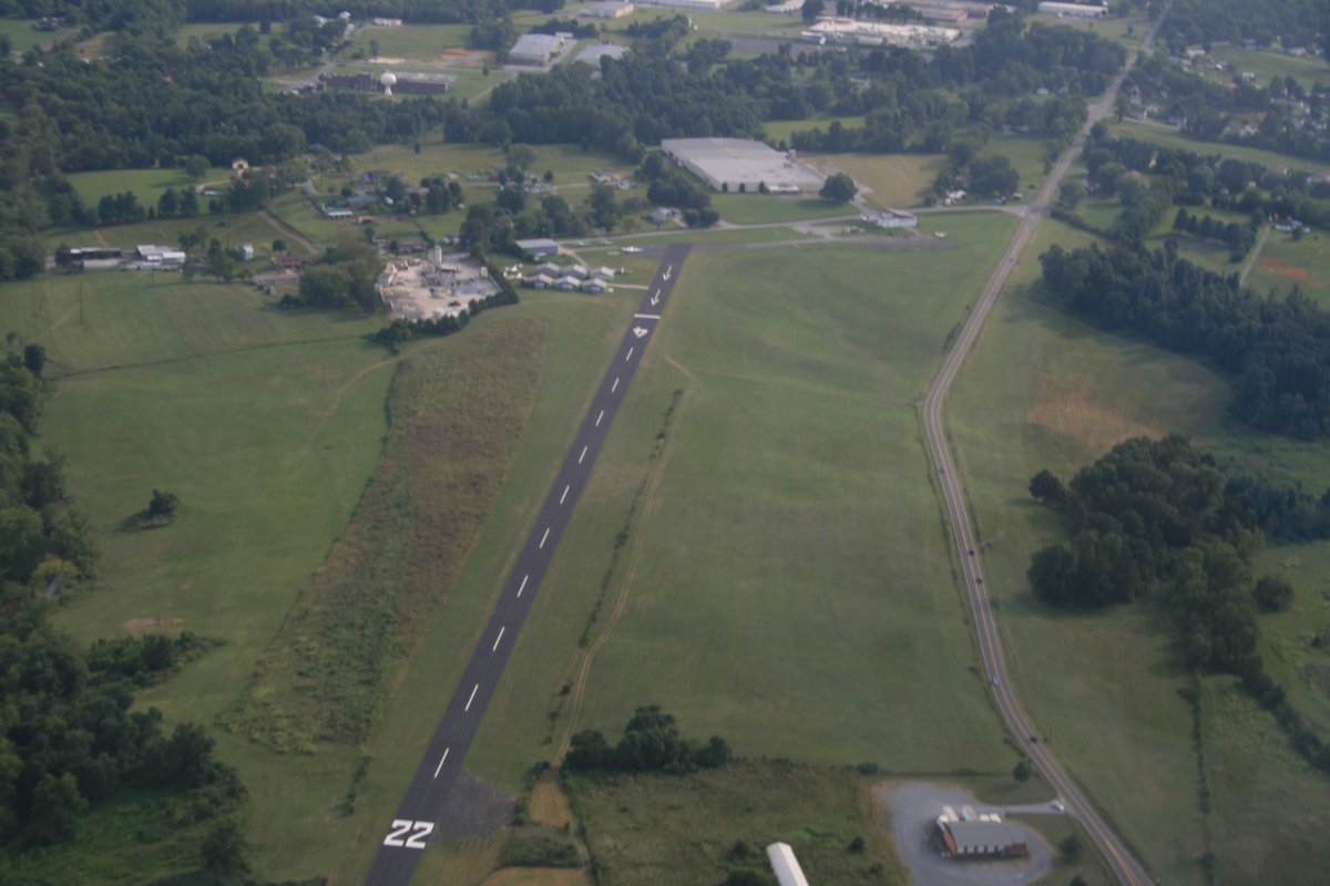
| Overhead Johnson City Airport (0A4). This is the third time I've landed here in the RV. I even have a tie-down spot I always use. It's only a ten minute drive from here to my sister's house; very convenient. Everybody was waiting for me when I landed. |
| |
 |
|
|
After an enjoyable week with my parents and sister, it was time to fly home. I was going to leave Thursday but the weather was horrible that day. I possibly could have made it on a nerve-wracking, scud-running hair-raising adventure. Instead, I postponed leaving until Friday when the conditions were excellent.
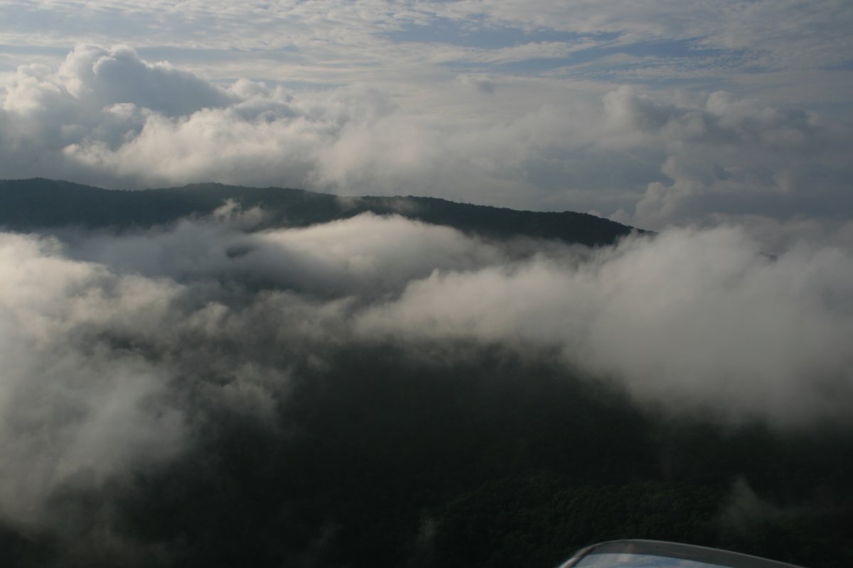
There were a few morning low clouds around Johnson City Friday morning but nothing to worry about.
|
| |
 |
|
|
Soon it was mostly blue sky.
|
| |
 |
|
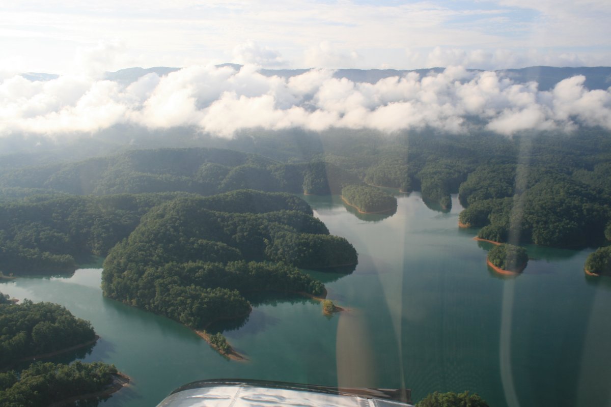
| The big South Holston lake east of Bristol. |
| |
 |
|
|
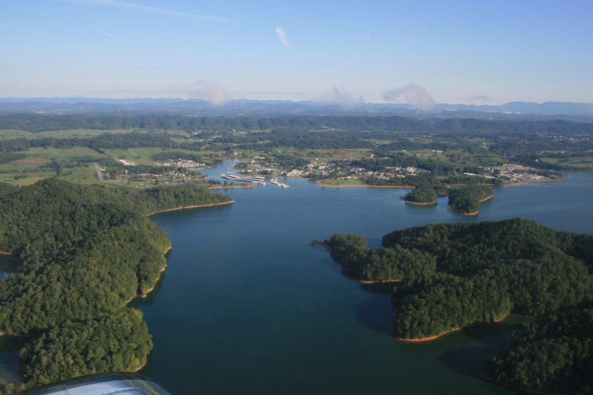
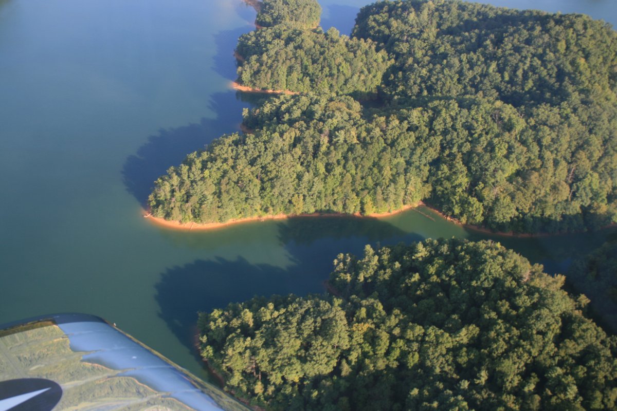
More South Holston Lake.
|
| |
 |
|
| It's a little too early for the boaters. |
| |
 |
|
| After stopping at Mountain Empire airport to get gas -- a very nice airport and FBO, by the way -- I climbed high, picked up a good tailwind, and scooted home. |
| |
 |
|
|
A beautiful day.
Other than jet airliner contrails high above, you almost never seen another plane on a transit like this. But I was cruising along and suddenly there was another airplane -- single-engine low wing -- heading right for me off the left wing. Just after I saw him, he banked right slightly to pass behind me. We were both at the correct VFR altitude for heading east -- 7,500 feet. We were both doing the right thing. It just illustrates the importance of keeping your eyes outside the cockpit.
|
| |
 |
|
|
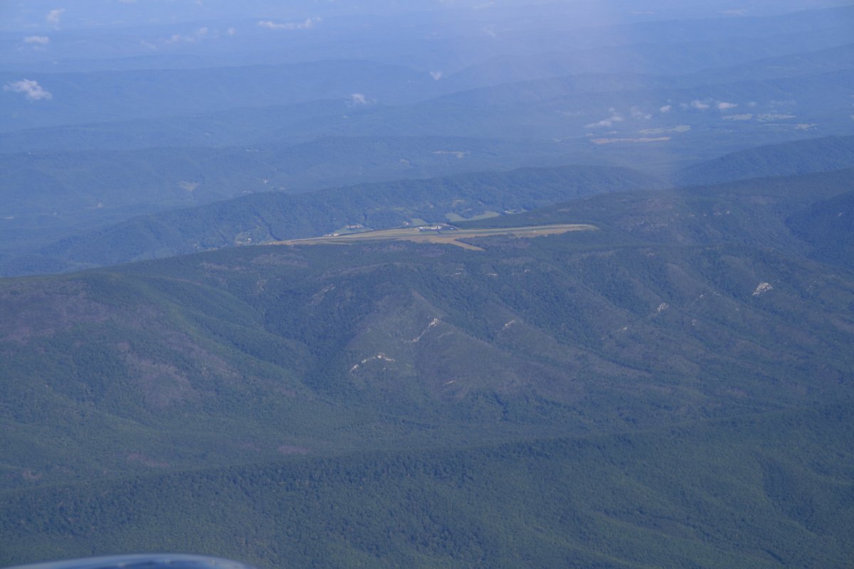
The little clear area on the top of the mountain center right is an airport: Ingalls Field airport (KHSP) near the little town of Hot Springs in that open area to the left.
|
| |
 |
|
| A closer look at Ingalls Field. Will have to land there sometime. |
| |
 |
|
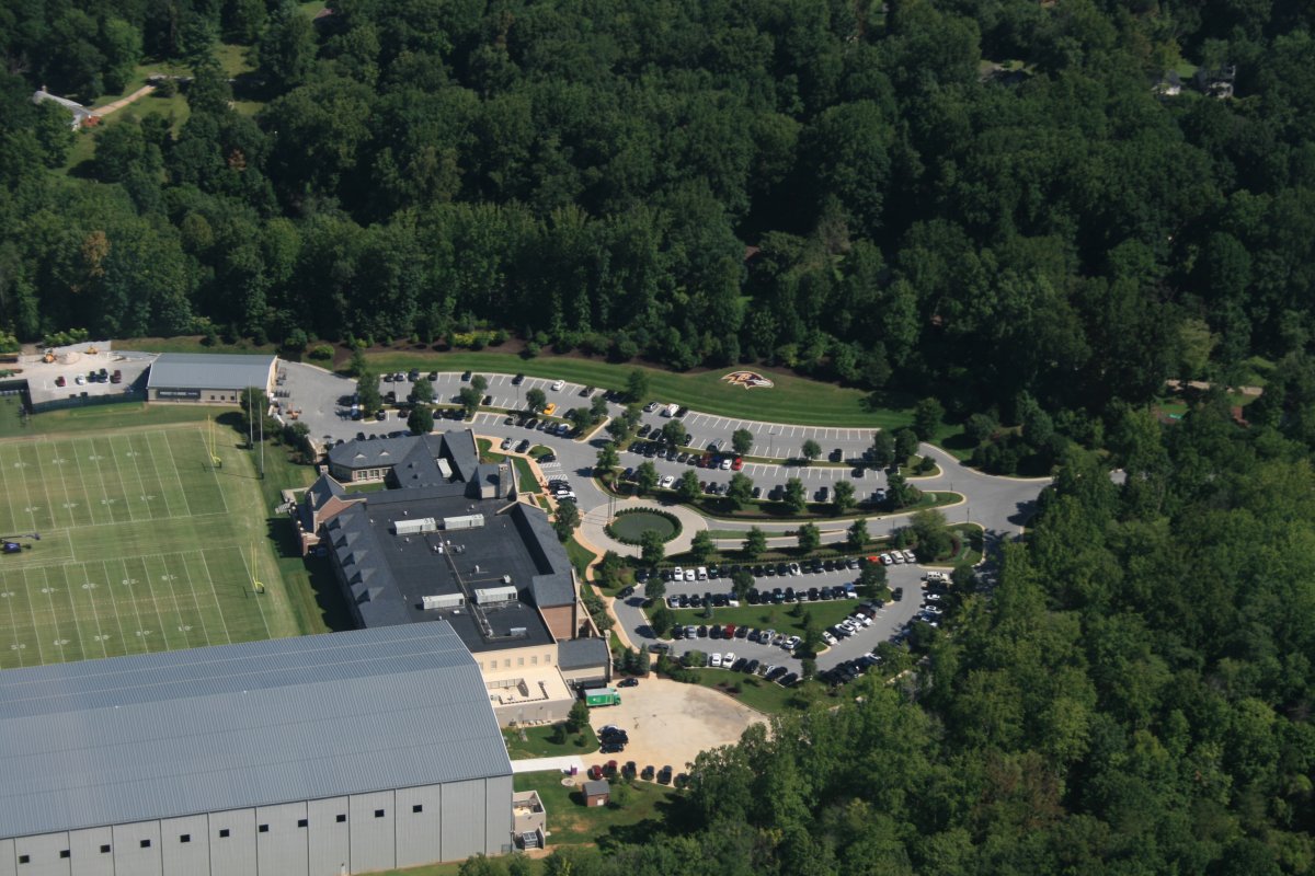
| My path home always takes me over the Baltimore Ravens practice facility. Lots of cars in the parking lot but no one on the fields. Must all be in meetings. |
| |
 |
|
|
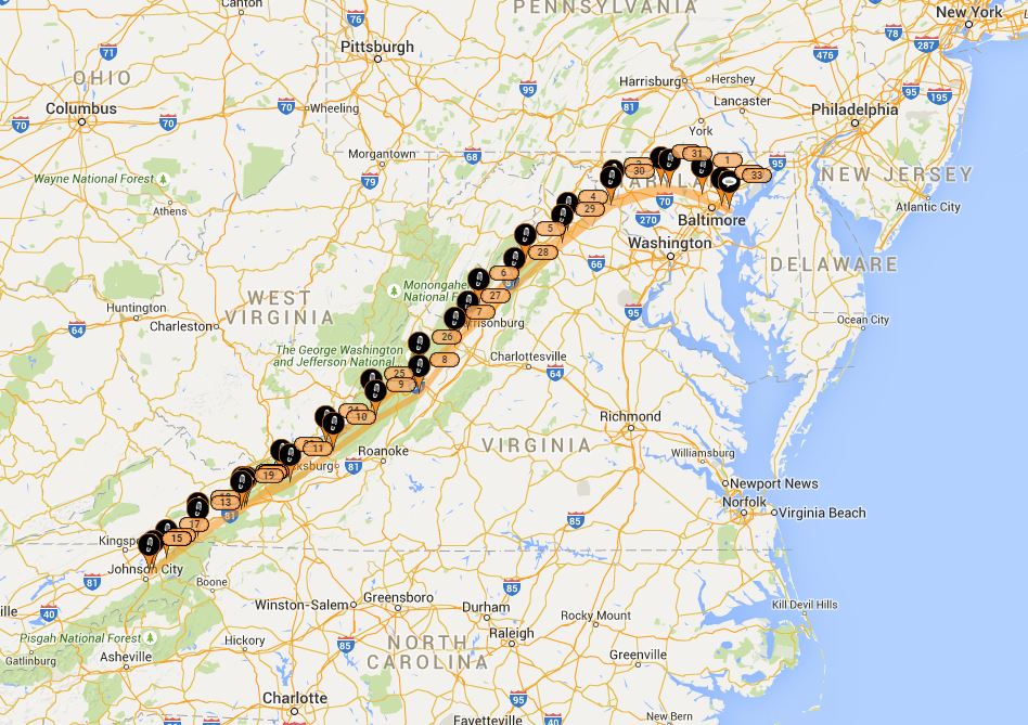
Round trip flight path.
|
| |
 |
|
| |
| |
|
|
|
|
|
|